Products


Solutions

Retail & eCommerce

Defense

Logistics

Autonomous Vehicles

Robotics

AR/VR

Content & Language

Smart Port Lab

Federal LLMs
Resources
Company
Customers
See all customersMariupol Damage Identification
Public dataset identifying damage sustained in Mariupol as of March 21st, 2022 on a by-structure level. This dataset aims to support the mission-driven AI community across government, humanitarian, and academic sectors.
OVERVIEW
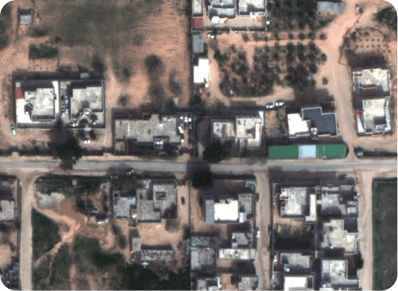
Mariupol Damage Identification Dataset
310
Sq. KM Scene of Mariupol
3
Levels of damage assessment
81,000+
structures in total
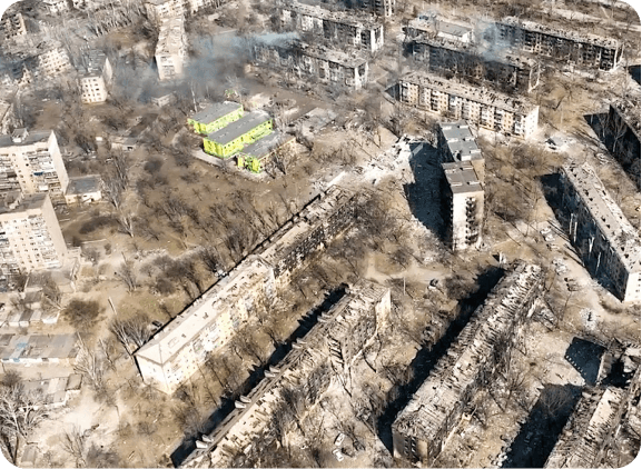
DATA COLLECTION
Satellite Constellation Imagery

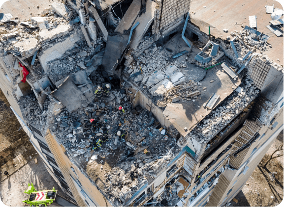
DATA ANNOTATION
Identifying And Assessing Damage
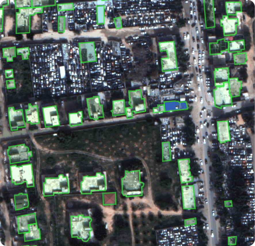
Polygon Labeled
In this Mariupol dataset, each structure is labeled with a polygon. Because of the difficulty of placing precise polygons in dense urban areas, Scale created an auto-segment polygon tool. This tool allows labelers to place a bounding box over an area with a building and leverages machine learning to transform that bounding box into a precise polygon covering the building’s rooftop.
All buildings receive a damage assessment on a three-point scale:
No Damage
No visible holes or cracks in the roof
Damaged
Roofs with holes or partially collapsed
Destroyed
Roof is completely collapsed